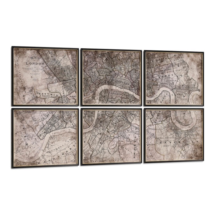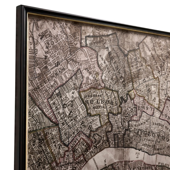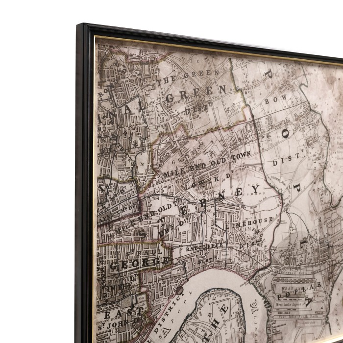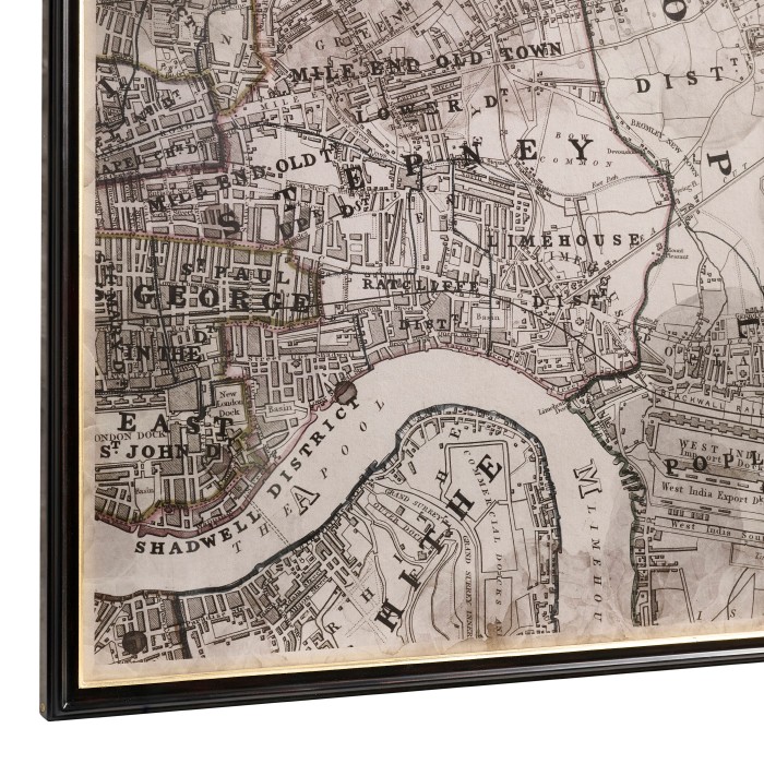
Districts of the Metropolis - Set of 6
800028-PRI-EBF
Description
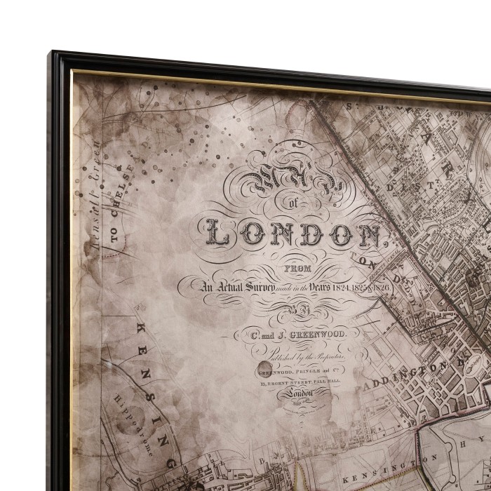
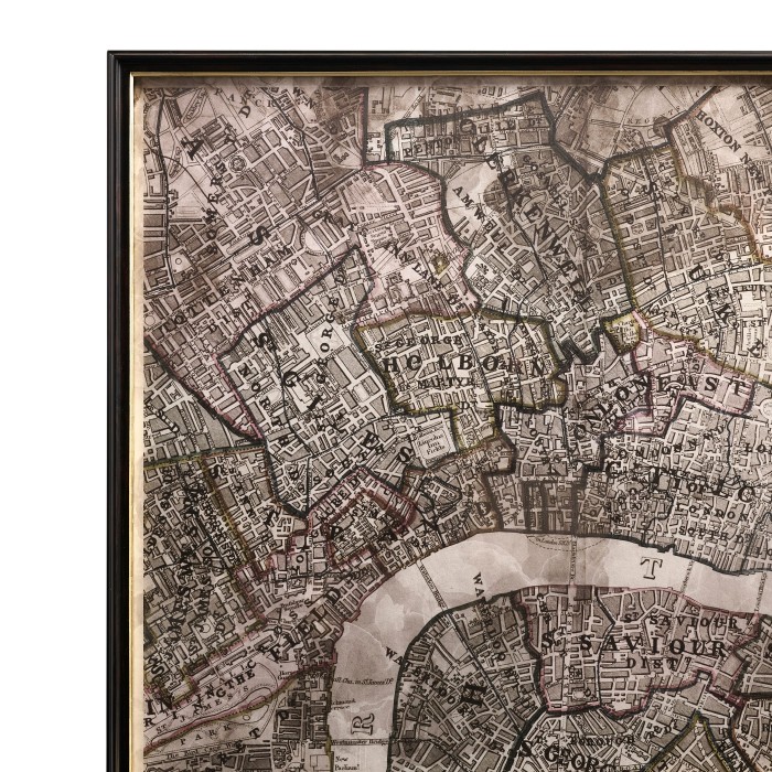
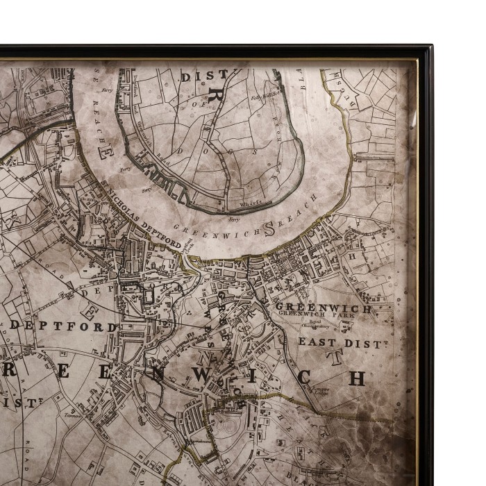
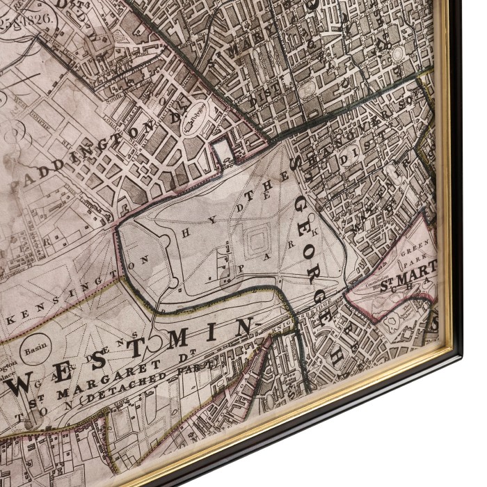
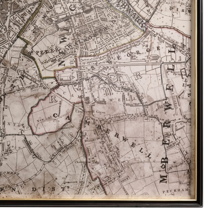
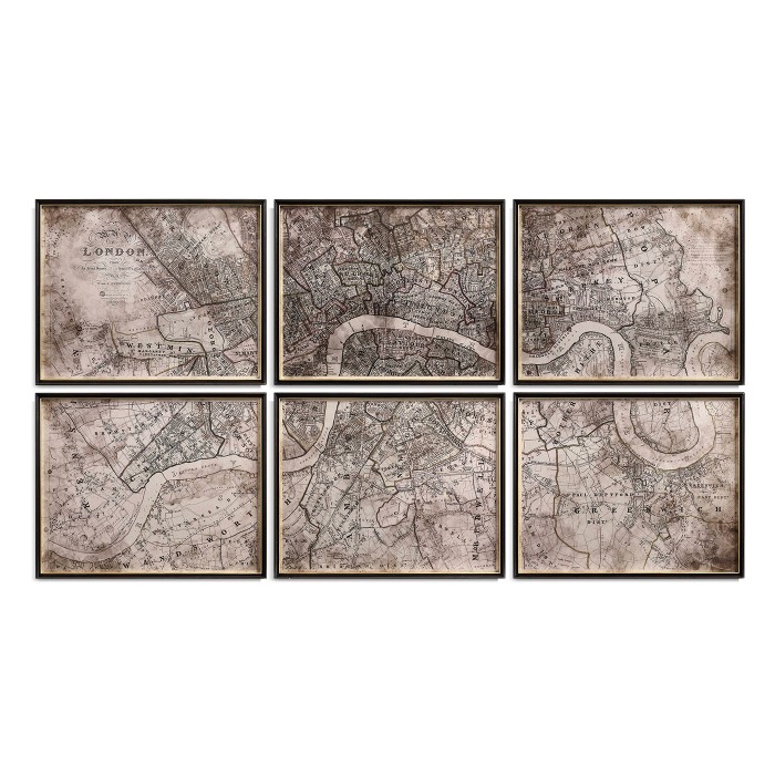
This six-part map series reflects Jonathan Charles’ fascination with history, craftsmanship and the layered narratives of great cities. Drawn from John Arrowsmith’s The Registration Districts of the Metropolis (1843), the works capture London at a pivotal moment of 19th-century growth and reform. Displayed together, the six prints form a wall-scale composition, transforming cartography into architectural presence.
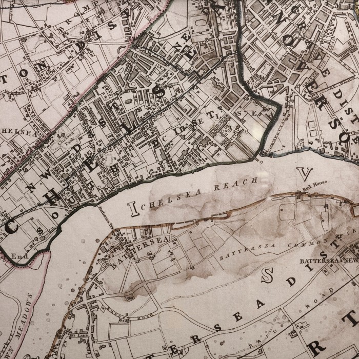
Originally published in The London Atlas of Universal Geography (1858), the map reveals a city being measured, ordered and understood amid rapid expansion. Distressed surfaces and aged textures introduce a pronounced patina, evoking the physical life of archival documents and the passage of time.
Printed on Awagami handmade Japanese paper from the Fujimori family mill in Tokushima, the prints carry the depth and tactility of a centuries-old papermaking tradition, lending an archival presence that mirrors the gravitas of the source material.
Category
Dimensions (W x D x H)
35 ½ x 1 ½ x 28 ½ inches
90.2 x 3.5 x 72.5 cm
Finish Code:
- FIN-PAI-20(Ebonised)
Weight:
- CBM: 1.27
- CBF: 44.85
- KG: 40
Main Material:
- Poplar
Packing Information:
- FIN-PAI-20(Ebonised)
Weight:
- CBM: 1.27
- CBF: 44.85
- KG: 40
Main Material:
- Poplar
Packing Information:
Box Per Item: 1
Item Per Box:
- Crate : 1